Industries
Learn more about Sat-Drones expertise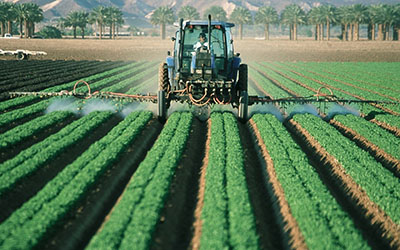
Precision Agriculture Services
- Provide information and innovative products for fast, cost-effective planning, protection, detection, analysis and monitoring, to benefit precision farming for different environments conditions and to aid underdeveloped areas.
- Forecast the permanent and temporary crop growth and crop management.
- Develop models to forecast crops and other conditions affecting people in regions stricken by disasters such as in case of drought
- Aim to benefit: farmers, food manufacturing companies, wineries and agricultural operators for crop management
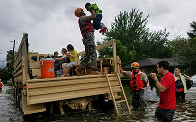
Disaster Services
- Combine geospatial data and drones to save human and animal lives by identifying situations for disaster risk reduction, such as shelter and medical emergency areas and evacuation routes.
- Identification of priorities areas to dedicate for shelter, evacuation routes, varied point of contact (POC), with the combination of public available geospatial data.
- Use of data collection and analysis to evaluate situation immediately after disaster strike.
- Develop models, predictive and informative innovative products, used by agencies in the United States, in relation to reduce risk of disasters.
- Aim to benefit: government agencies, insurance groups, universities and other disaster services organizations.
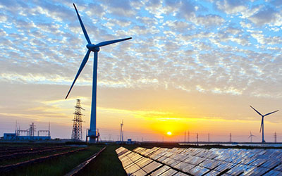
Energy
Services: Pipelines Monitoring – Improve operations and maintain routes for the safe delivery of products through pipelines and management of hydrocarbon leakage.
- Aim to benefit: public and private organizations.

Environmental
Services: Provide aerial imagery for forest management, animal and plant conservation, and other environmental needs.
- Aim to benefit: government organizations.
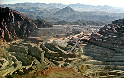
Mining
Services: Enhance ability to manage operations more efficiently through integrated geospatial services to benefit users.
- Aim to benefit: private and government agencies,
and institutions.
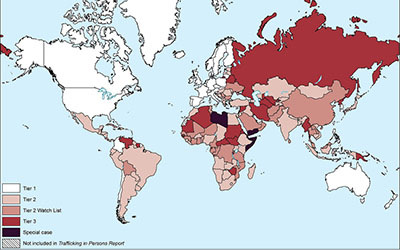
Human Trafficking
Services: Provide quantitative and geospatial analysis and solutions for the management of displaced people
- Aim to benefit: Non-Governmental Organizations (NGO) and governmental organizations.
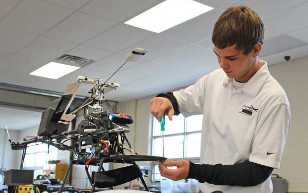
STEM/STEAM
- STEM outreach to both education and local communities, sharing experiences and best practices.
- Aim to benefit: Students and faculty in the High School systems, through training of visual observers; individuals who are interested in becoming remote pilots; first responders and emergency personnel.
