About Us
An innovative software development company
Sat-Drones is an innovative software development company that enables the efficient operation of a product’s life cycle through geospatial data collection and analysis, for a specific end user. Sat-Drones integrates satellite, drone and statistical data to provide customized comprehensive software products to improve timely decisions, and cost-effective solutions, benefiting human welfare.
Lucia Lovison-Golob
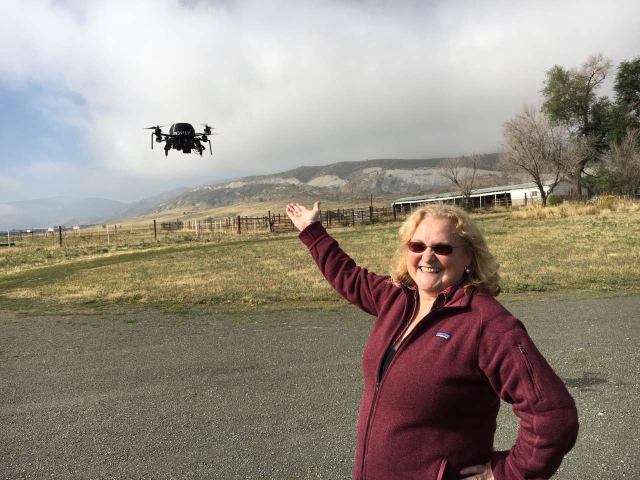
Lucia was Geospatial Director and Librarian at Afriterra Foundation, where she has performed cataloguing, metadata and was a geospatial developer, blogger, and historian. In March 2017, she became Remote Pilot. Prior, she developed the geographical model for the One Laptop per Child (OLPC), now available to schools around the world. In 2012, she was invited by Oxford University (UK), and in 2014 wrote “The Integration of Historical Cartography into the Present Day”.
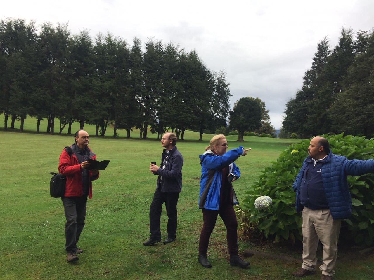
She is also Group on Earth Observations System of Systems (GEOSS) Capacity-Building Leader responsible for directing capacity-building for GEOSS disaster management and risk reduction projects in Latin America and Africa. Additionally, she co-organized an Early Warning and Disaster Workshop in July 2017 in Washington, D.C, and co-organized the International Cartographic Conference (ICC) 2017 conference.
Previously, Lucia was Founder of Howard T. Fisher GIS Prize Award for graduate and undergraduate students at Harvard University. She was Harvard University Geographic Information in Science (GIS) Instructor, focusing on issues of interoperability, data sharing/integration, Digital Right Management (DRM), security, and privacy.
During her tenure in Italy, she was Exploration Geologist/Geophysicist at Agip Co., Milan, Italy, where she identified gas fields now in production – in the Mediterranean (Adriatic) Sea. Additionally, she was Chief Geologist at the Regional Government Agencies in Northeastern Italy (Comunita’ Collinare del Friuli, Comunita’ Montana di Tarcento and Gemona), of 42 disaster stricken municipalities, where she evaluated seismic risk of a major earthquake area in 1976.
Lucia graduated with Master’s Degree in Engineering Geology at University of Padua, in Italy. Later got her Master’s Degree in Geophysics, at Harvard University. In 2014, she obtained her PhD in Remote Sensing at Boston University. She holds GIS Certification and she is a remote pilot, involved in Unmanned Aircraft System (UAS) for civilian use.
Lucia is in the COGO (Coalition of Geospatial Organizations) in the orthoimagery group, 2017, evaluation and setting standards for all the governmental organizations in the United States. She is also co-editor of the insight column of the Photogrammetric Engineering & Remote Sensing (PE&RS) magazine of American Society for Photogrammetry and Remote Sensing (ASPRS).
Lucia is also a member of the Digital Technologies in Cartographic Heritage Working Group of the International Cartographic Association (ICA-ACI). She previously was Co-chair of the Open Data Access and Intellectual Property Rights for Cartography Working Group of ICA. She has been member of Association of Pioneers and Veterans of ENI (Italian National Energy Company) since 2010 – Honor given as the first woman explorer in Italy.
Lucia has been recognized and awarded Medal for Excellence in Geographic Information Science, Environmental Systems Research Institute (ESRI) in fall 2002. She received Excellence for Teaching at Harvard University in 1999.
Among some of her publications and presentations are –
- “Human Trafficking: From the Past to the Present on the Indian Ocean. Geospatial and Other Quantitative Methods”, presentation at Harvard School of Public Health, July 2017. Paper to be published –
- “A Cartographical History of the Quest for the Source of the Nile River”, presentation at ICC 2017, July 2017. Paper to be published –
- “Integration of Historical Maps with Satellite Images and Other Data: the Darfur Case”, presentation at the Newberry Library 2016 and 34th IMCoS event, 2016.
- “A GEOSS Architecture Implementation Pilot Project for Disasters in Chile”, ASPRS, co-author, 2016. Paper to be published –
- “Geospatial Resource Management in Disaster Stricken Area in Chile: a GEOSS Approach”, Advancing Geographic Information Science, Chapter 26, 2015.
- “Issues on Open Data Access and Intellectual Property Rights for Cartographers”, International Cartographic Conference, November 2009, Santiago, Chile
- “Web Mapping Service – WMS Cookbook”, Open GIS Consortium, 2003
- “Map Events Tool: web-GIS tool for teaching and training”, ESRI Education User Conference, 6, July 2002

Interested in joining our team?
Experienced Scientist? Top Engineer? Software Wiz? Travel the world with us and make a difference. We are growing!
